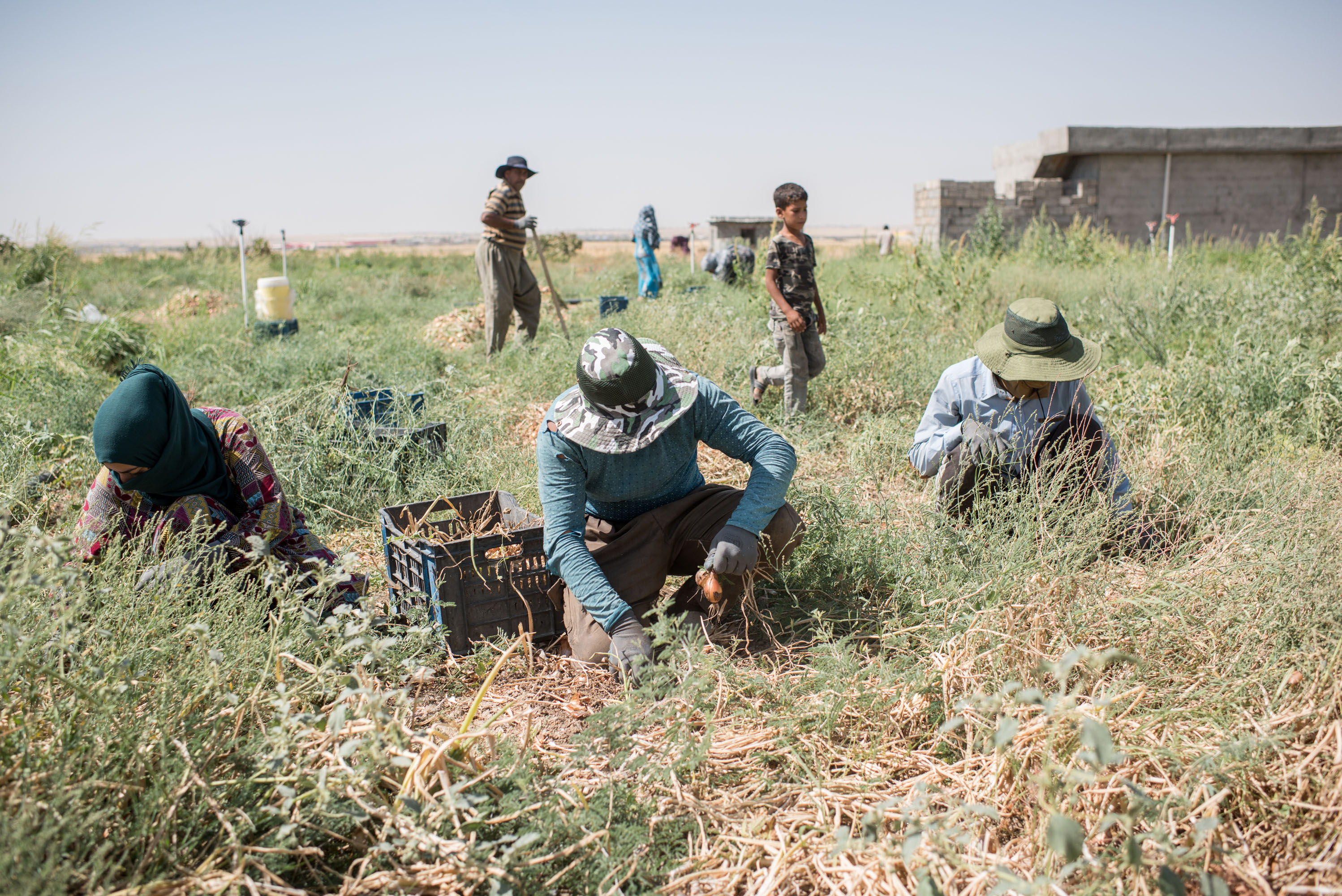
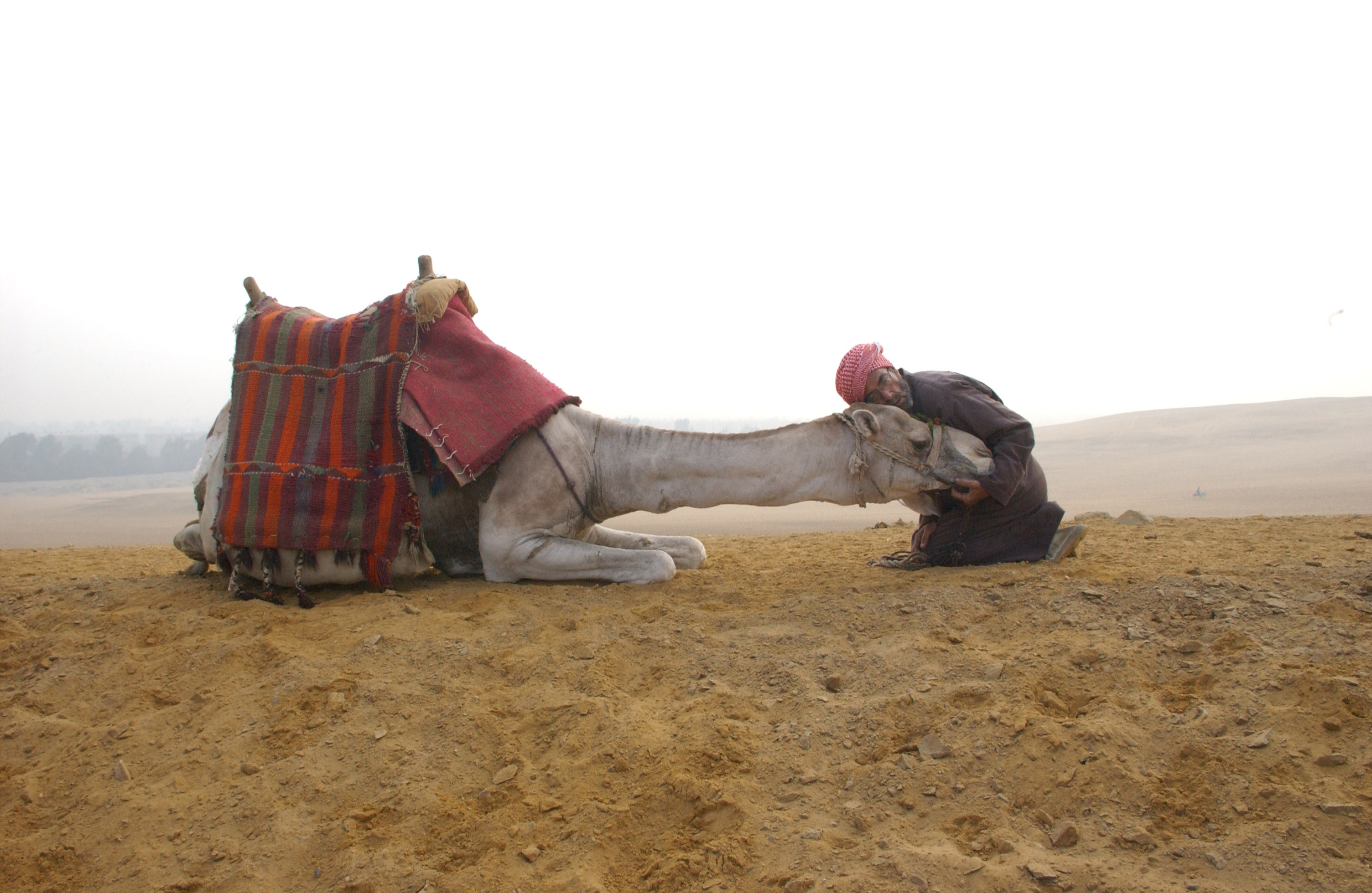
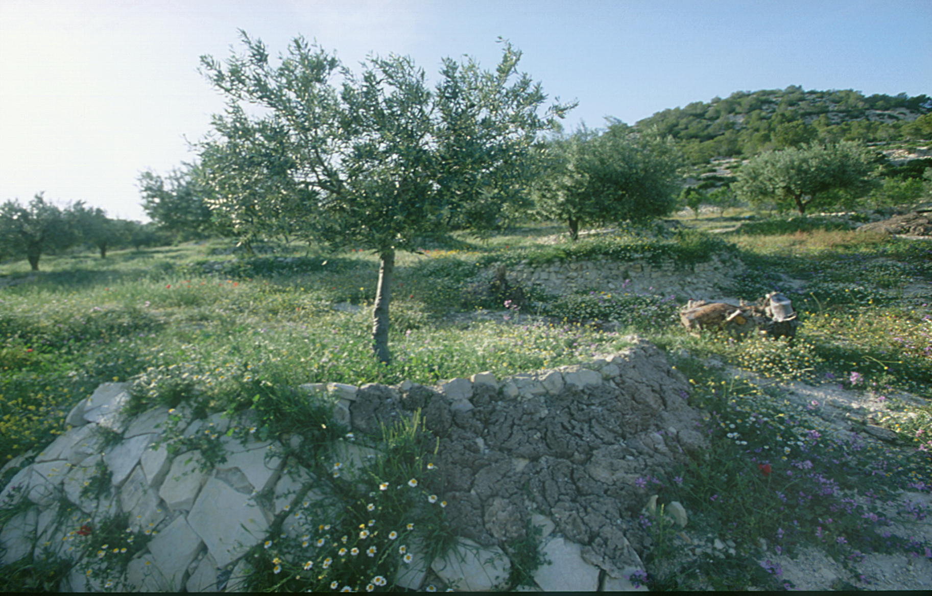
Land
Challenges in the NENA Region

Population growth and urbanization
- Population has increased sixfold since 1950.
- Urbanization rose from 40 percent to 60 percent by 2018, pressuring land resources and fragmenting agricultural areas.
Food insecurity and agricultural productivity
- Heavy reliance on food imports despite population growth.
- Agriculture contributes only 13 percent to GDP, with widespread rural poverty, two-thirds of the rural population living in poverty.

Conflicts and instability
- Conflicts in 5 of 19 countries exacerbate land degradation and food insecurity.
- Refugees and displaced persons increase pressure on land and natural resources.
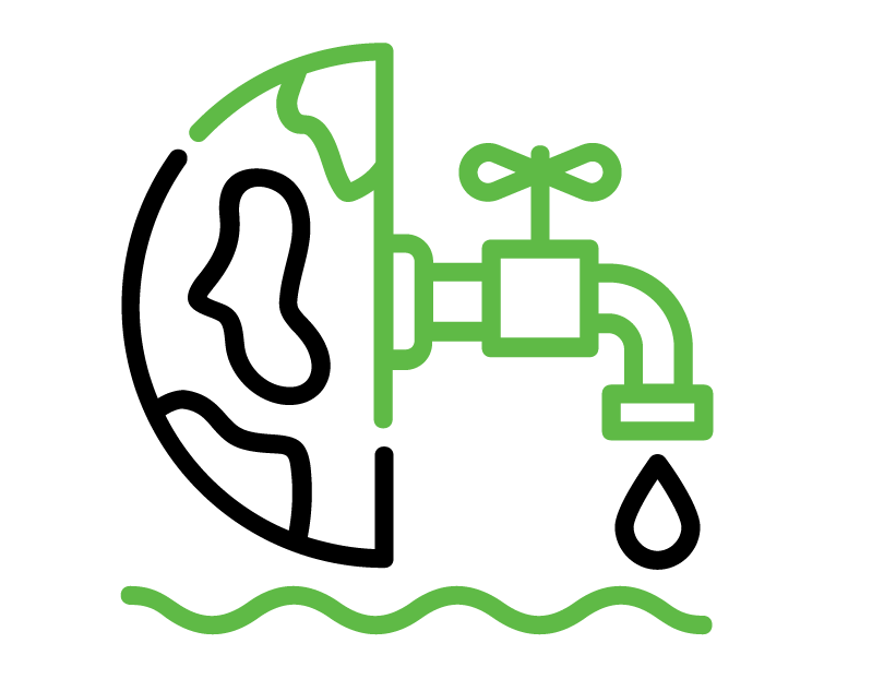
Water scarcity and management
- Severe water scarcity, with 85 percent of water used for agriculture.
- Unsustainable water management depletes groundwater and degrades water quality.
Climate change and land degradation
- Rising temperatures and changing precipitation worsen desertification, soil erosion, and land degradation.
Smallholder farmers and conflict zones are most affected.
Sand and dust storms
Sand and dust storms (SDS) pose significant challenges in the NENA region, where arid landscapes are particularly vulnerable. These storms lead to land degradation, loss of vegetation, and reduced agricultural productivity, worsening food insecurity and threatening livelihoods. The increasing frequency and intensity of SDS in NENA, driven by poor land management, desertification, and climate change, further strains vulnerable communities.
Addressing SDS in NENA requires comprehensive strategies that include sustainable land and water management, disaster risk reduction, and regional collaboration. FAO plays a vital role by providing technical expertise, promoting climate-smart agricultural practices, and strengthening early warning systems. Through regional and country-specific projects, FAO supports NENA countries in mitigating and adapting to SDS, enhancing resilience, and safeguarding food security.
Our work in action
The Coalition on Combating Sand and Dust Storms (SDS) is a collaborative initiative comprising UN agencies and non-UN organizations to promote coordinated action against SDS's impacts on health, agriculture, and the environment. FAO’s involvement in these collaborative efforts contributes to building more resilient agricultural systems, ultimately improving the livelihoods of communities affected by SDS in the NENA region.
As illustrated in FAO’s The State of Land and Water Resources for Food and Agriculture Report (SOLAW) in the NENA Region and Restoring Land and Soil Health to Ensure Sustainable and Resilient Agriculture in the Near East and North Africa Region, several key actions are recommended to address land and soil degradation in the NENA region:
Expanding digital soil mapping efforts is crucial for improving soil data coverage and accuracy across the NENA region. This involves building on existing datasets like the Harmonized World Soil Database (HWSD) and Soil Grids, and extending mapping initiatives such as the Soil Atlas of Asia to cover the entire NENA region.
Applying the Global Agroecological Zones (GAEZ) methodology helps assess agricultural resources and land potential. This approach integrates geo-referenced climate, soil, and terrain data to create comprehensive land resource databases, guiding land management strategies based on soil profile attributes and environmental factors.
To address land degradation, advanced methodologies for mapping and assessing degradation are recommended. This includes using approaches like GLASOD for global assessments and LADA-WOCAT for localized evaluations.
Leveraging advancements inremote sensing (RS) is crucial for monitoring soil health indicators. Utilizing new satellite technologies and machine learning algorithms enhances the accuracy of soil organic carbon and soil salinity mapping, particularly in regions with limited vegetation cover.Conducting integrated assessments to evaluate soil improvement interventions is essential. This involves long-term monitoring and using multidisciplinary soil indicators to assess impacts on soil fertility, biodiversity, and overall health, ensuring the sustainability of these interventions and addressing social and economic implications.
Improving soil health management requires enhanced knowledge generation and sharing. Utilizing platforms like the WOCAT SLM Database helps document, disseminate, and scale best practices. The development of various toolboxes and knowledge hubs, such as the Land Resource Planning Toolboxand the Agroecology Knowledge Hub, supports sustainable land use and management practices.