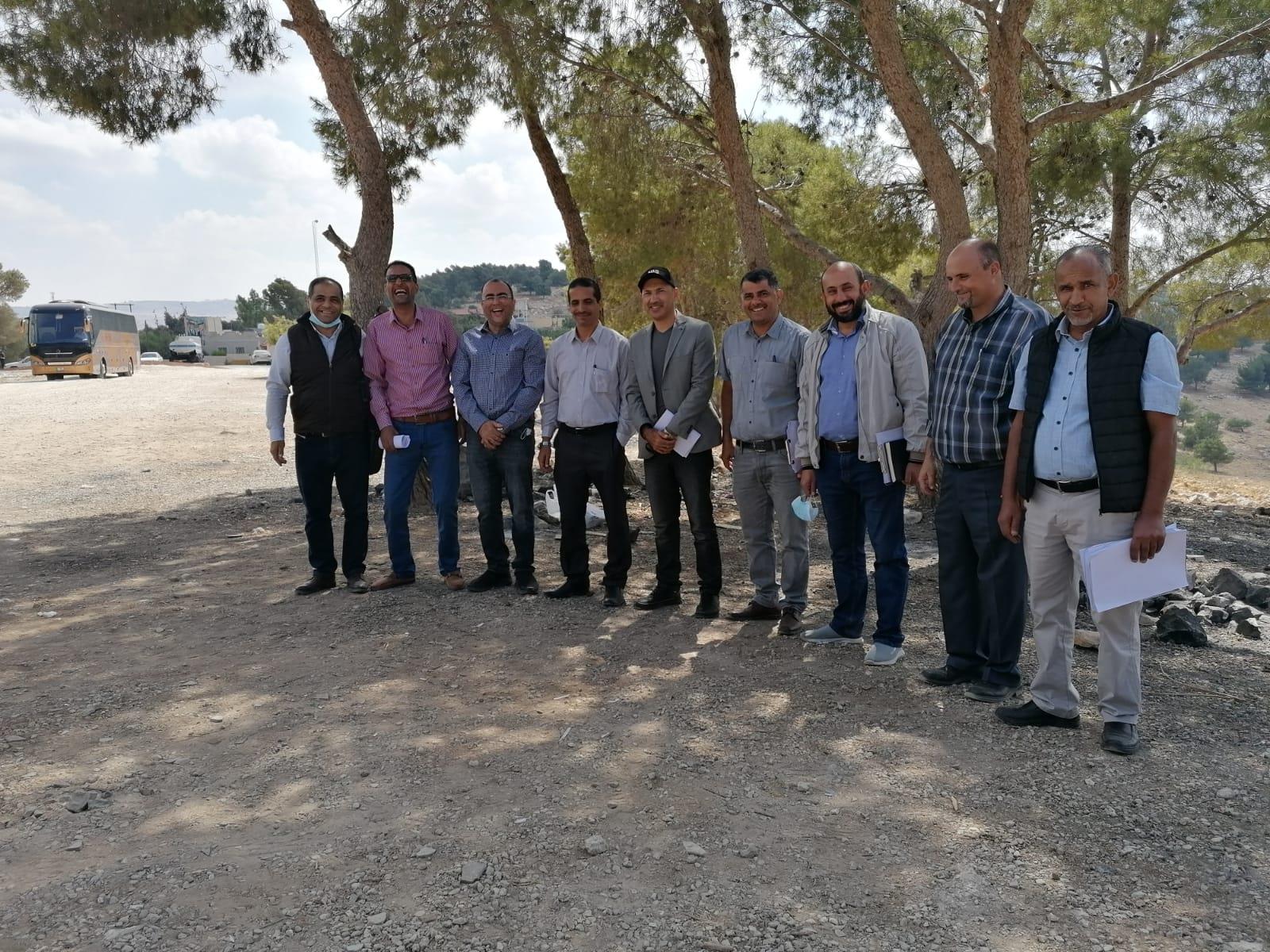
FAO conducts a training on utilizing GIS for improving forest fires prevention & early detection

Amman - October 3, 2021 – The Food and Agriculture Organization of the United Nations (FAO) launched today a training on the utilization of GIS for improving forest fires prevention, early detection, control and documentation.
This training falls within the activities of “Enhancing the capacity of the forestry sector to control and manage forest fires in Jordan” project which addresses the country technical capacity needs and support in regards to forest fire management.
The objective of the training is to build and enhance the Ministry of Agriculture/Forestry Department experts and other key stakeholders on utilizing GIS (e.g. GPS) to improve forest fire management.
Moreover, the training targeted the groups of technicians and experts in forest management from Ministry of Agriculture/Forestry Department who attended the first training course, which was held early September. In addition to that, FAO has procured GPS units to support the training sessions, which will be handed over to the forestry department in MOA.
Forest protection is a pillar of the United Nations Sustainable Development Goal 15: “Protect, restore and promote sustainable use of terrestrial ecosystems, sustainably manage forests, combat desertification, and halt and reverse land degradation and halt biodiversity loss”. It also falls under the FAO Strategic Objective 5: Increase the resilience of livelihoods to threats and crises, and Strategic Objective 2: Make agriculture, forestry and fisheries more productive and sustainable.
