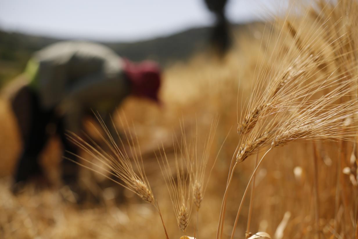
Modern technologies boost national capacity to update Syria’s figures on cereal production

27 September 2018, Damascus - This year, for the first time, the Syrian agricultural sector featured an assessment of crop yields using modern Information and Communication Technologies (ICTs). This offers the prospect of more accurate and cost-effective data collection for ministries, statistical institutions and decision makers, to help them understand the general situation of two the nation’s strategic agricultural products - wheat and barley.
The assessment is the result of an agreement between the Food and Agriculture Organization of the United Nations (FAO) and the Ministry of Agriculture and Agrarian Reform (MAAR) for estimating the wheat and barley crop status during the agriculture season 2017-2018. The studies supported by FAO were conducted by the General Organization for Remote Sensing (GORS) and the Natural Agricultural Policy Center (NAPC), based on analysis of high resolution images and maps, to come out with accurate estimates of wheat and barley planted areas, and prospective yields across all governorates of Syria.
“Prior to the crisis, Syria was highly productive in the growing of wheat and barley, the main staple foods in the country. Improving our knowledge of the growing situation in real time will help decision makers understand the likely yield situation, and any actions needed to be taken, in good time,” stated Mike Robson, FAO Representative in Syria. He added that receiving more precise and comprehensive data earlier could help in taking better decisions on technical support to farmers, on future public procurement and on levels of price support.
Accurate data collected by modern technologies
The remote sensing technology and the geographic information systems developed are time and cost-effective, and comprehensive. In Syria, this technology is being used for the first time to assess the likely yield situation, and to analyze the contributory factors such as planting times, weather patterns and irrigation availability. Thanks to FAO’s technical assistance and consultation on the assessment’s preparations, national capacity to undertake future assessments has been significantly boosted.
The collection of primary data and setting the main areas mapped by the remote sensing technology assisted the experts to expand their studies by complementing the information they received from the ground with the satellite images, across the targeted governorates.
The technology allowed experts to receive accurate information on the expected production result of wheat and barley in Syria, several weeks ahead of harvest. At this point, mapping 662,295 hectares of wheat cultivated areas, the results showed predicted production of around 1.3 million tons (subsequently reduced due to crop damage from unseasonable late heavy rainfall). For barley, the cultivated area recorded was 1,036,906 hectares with an expected (low) yield of just over 400,000 tons due to drought conditions, particularly in eastern and southern regions of the country.
National capacity development in practice
Data on in-season crop development, and agro-meteorology, can contribute to early warning of drought and support calls for action to protect farmers and rural families’ main livelihoods and source of income, in addition to ensuring that people will have sustainable access to nutritious food after the harvest.
FAO and its partners created a first opportunity for national experts working in the agriculture sector to gain hands on experience in using advanced remote sensing technologies.
“The crisis in Syria has added pressure on national experts to obtain information needed for planning and decision making, in support of national food security,” stated Mike Robson. “In a difficult context, this experience shows the power of using the latest technologies to gather and analyze data across a wide area,” he added.
