Rapid Water Accounting assessment in the Nahr El-Kalb River Basin - determining data gaps and capacity building needs

Agriculture in Lebanon is by far the largest consumer of freshwater resources, with 61 percent of total water consumption, followed by 30 percent for municipal use and nine percent for industrial use. With the deteriorating quality of surface water and the lack of adequate water networks, farmers are increasingly relying on groundwater sources and increasing the pressure on water resources. According to the 2017-2020 Lebanon Crisis Response Plan, the demand for safe water access and wastewater management services has risen by 30 percent and contamination has reached two-thirds of the country’s water resources, thus exacerbating environmental concerns and limits water availability.
As one of FAO’s strategic objectives focuses on promoting the sustainable management of land, forest and water resources, particularly in the context of climate change. The regional project "Implementing the 2030 Agenda for water efficiency/productivity and water sustainability in Near East and North Africa (NENA) countries (WEPS)” which is being executed in close collaboration with the Ministry of Energy and Water and the Ministry of Agriculture plays a very important role. The project is funded by the Swedish International Development Cooperation Agency (SIDA) and focuses on: (i) adopting international standards and scientifically sound “water accounting systems” based on remote sensing (RS) and (ii) increasing water irrigation efficiency and water productivity.
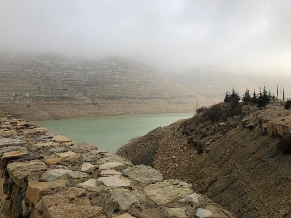
Under the Water Accounting component of the WEPS project, a rapid water accounting assessment (RWA) has been carried out as a pilot study in Nahr El Kalb River Basin during 2020, and aimed at giving a general description of this area, calculating or estimating the major components of the water accounting, and determining data gaps and capacity building needs. The area under study is located on the western part of Mount Lebanon, and was chosen for being a typical Mediterranean Lebanese coastal basin and the main water supplier for greater Beirut. Furthermore, water in the basin is mainly used for domestic and agricultural purposes, the basin is known to be a touristic and recreational area and the presence of multi-stakeholders. It is worth mentioning that the inflow components of the area can be summarized as: precipitation, ground water (GW) inflow, and import from adjacent basin whereas the outflow components are mainly: Evapotranspiration (ET), outflow to the sea, export to Beirut, and GW outflow.
The main recommendations of the assessment included: enlarging the water accounting team to include more specialties and human resources, and building its capacity in several fields/areas. Uncertainties in GW flows and storage changes, precipitation, and ET should be reduced in the next round which consists of an advanced water accounting exercise for the same pilot area, to be implemented throughout 2021.
