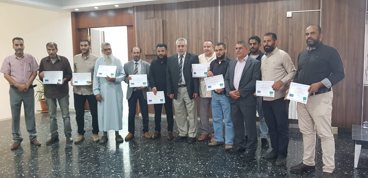
FAO supports Libyan partners for floods damage and impact assessment in the Eastern region of Libya
FAO enhances capacity development of local stakeholders on field data collection to better assess agricultural land and water infrastructure damages and losses caused by the floods.

FAO supports Libyan partners for floods damage and impact assessment in the Eastern region of Libya
©FAO
Libya, 8-11 October 2023: A training workshop is organized by FAO-Libya and hosted by The Agricultural Research Centre (ARC) in Al-Bayda (Eastern of Libya). This activity has the support of the FAO subregional office for North Africa, FAO Office of Emergencies and Resilience (OER), FAO Geospatial Unit of Land and Water division (NSL) and benefits of the collaboration of national partners from the Ministry of water resources and Ministry of agriculture and livestock. The event is organized within the framework for FAO involvement in Libya - Floods Damage and Impact Assessment (FDIA) and within the Capacity Development Program (CDP) of the FAO's two complementary projects: “Monitoring, evaluation and rationalization of water use for agriculture sector in Libya” funded by the Italian Agency for Development Cooperation (AICS) and “Evaluation of irrigation infrastructure, crop mapping and estimation of agricultural water use in Libya” funded by the African Development Bank (AfDB).
This training focuses on collecting and managing quantitative and qualitative field data using KoBoToolBox. Deployed on the ground through field survey, the tool will support the assessment of agricultural land and water infrastructure damages and losses caused by the floods and provide information on their impact on the livelihoods of agricultural populations.
Furthermore, its modules and content support the fieldwork preparation activity that will be launched in the eastern region (Al-Bayda, Derna, Benghazi, and Al Jabal Al Akhdar) which includes stocktaking of background information, sampling design, manuals and templates preparation, software customization and itineraries to process the field data collection in floods impacted regions.
12 local stakeholders (Eastern region) participated in this training. The majority is working in the fields of land, water, and agriculture, using GIS and Remote sensing for land and crop mapping. They represent various local institutions related to the Ministry of Water Resources, the Ministry of Agriculture and Livestock, the Libyan Center for Remote Sensing and Space Science, and the Agricultural Research Centre Al-Bayda (ARC).
